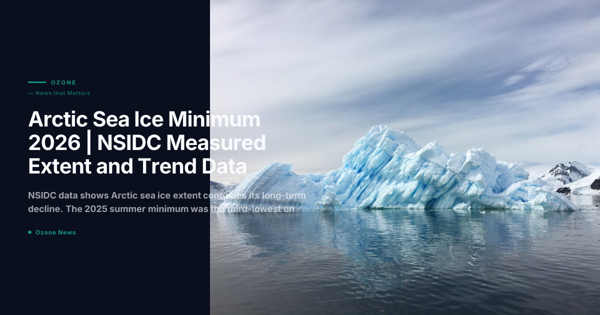
The National Snow and Ice Data Center (NSIDC) published its annual Arctic sea ice analysis for the 2025 summer melt season in October 2025, and the 2026 spring melt tracking has begun. The 2025 annual minimum, reached on September 11, 2025, measured 4.28 million square kilometers, making it the third-lowest extent on the satellite record, which begins in 1979. The record low remains the September 2012 minimum of 3.41 million square kilometers.
2025 Arctic Sea Ice Minimum | Key Measurements
The NSIDC Sea Ice Index, which uses passive microwave satellite data from the DMSP and JPSS satellite series, recorded the following for the 2025 melt season:
- Annual minimum extent: 4.28 million km², reached September 11, 2025
- Rank: Third-lowest on the 46-year satellite record
- Departure from 1981-2010 average: Minus 2.24 million km²
- Multi-year ice fraction: 18% of total extent, down from 22% in 2020
- First-year ice fraction: 82%, meaning most of the remaining ice pack reforms each winter and is vulnerable to each summer's melt
Dr. Walt Meier, senior research scientist at NSIDC, noted in the organization's analysis: "The long-term trend is unambiguous. We lose roughly 13 percent of September sea ice extent per decade relative to the 1981-2010 baseline. Individual years vary based on weather patterns, but the floor keeps dropping."
Why 2025 Did Not Break the 2012 Record
The 2012 record was set during an unusual late-season cyclone that broke up and dispersed the remaining ice pack in late August. The 2025 season lacked such an anomalous weather event. However, the NSIDC analysis notes that ocean heat content in the Beaufort and Chukchi Seas reached record levels in August 2025, a factor that is expected to accelerate bottom-melt of ice from below in future years even without cyclone assistance.
The Arctic Oscillation index was in a weak positive phase during June and July 2025, which typically promotes ice loss by directing warmer Atlantic air into the central Arctic basin. A shift to neutral conditions in August moderated the late-season melt rate.
2026 Spring Melt Tracking | Current NSIDC Data
As of mid-May 2026, NSIDC's daily sea ice extent tracker shows ice extent running at the fifth-lowest on record for the date, trailing the 2012 and 2020 pacesetters. The Bering Sea and Hudson Bay are showing particularly early melt onset, both approximately 10 days ahead of the 2010-2020 average. NSIDC scientists say it is too early to forecast the 2026 summer minimum with confidence, as June weather patterns over the Beaufort Sea will be determinative.
The European Centre for Medium-Range Weather Forecasts (ECMWF) seasonal forecast model, released in April 2026, projects a 60% probability that the 2026 minimum will fall below the 2025 value, and a 25% probability it will challenge the 2012 record. These probabilistic forecasts carry large uncertainty bounds at this time of year.
Sea Ice Thickness | A More Alarming Trend
Extent measurements capture only surface area. CryoSat-2 radar altimetry data, processed by the Centre for Polar Observation and Modelling at University College London, shows that mean Arctic sea ice thickness in April 2026 was 1.74 meters, compared to an estimated 3.64 meters in 1980. This means the total volume of Arctic sea ice is declining far faster than extent alone suggests. Thinner ice melts more completely each summer and cannot serve as a heat buffer for the Arctic ocean in the way thick multi-year ice did in previous decades.
Why This Matters
Arctic sea ice loss drives a positive feedback loop called Arctic amplification. Open ocean absorbs approximately 94% of incoming solar radiation; sea ice reflects 85%. As ice retreats, the Arctic warms faster than the global average, a process already being measured at roughly four times the global rate. This amplified warming destabilizes the jet stream, affects precipitation patterns across the Northern Hemisphere, and accelerates permafrost thaw, which releases stored carbon into the atmosphere. The sea ice trend is not an isolated Arctic problem; it is a forcing function for weather systems experienced across the entire Northern Hemisphere.
Frequently Asked Questions
- What was the 2025 Arctic sea ice minimum? 4.28 million square kilometers on September 11, 2025. It was the third-lowest on the satellite record.
- When was the record low? September 2012, at 3.41 million km². That record has not been broken.
- How is sea ice extent measured? Passive microwave sensors on polar-orbiting satellites detect microwave emissions from ice versus open water. NSIDC processes data from the DMSP and JPSS satellite series into the Sea Ice Index.
- Is Arctic sea ice coming back? No. The long-term trend shows a loss of approximately 13% of September extent per decade. Year-to-year variation exists, but no recovery trend has been observed.